- Services
-
-
-
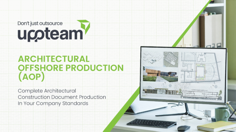
U.S.-based local architectural representation, ensuring communication, accountability, and delivery expectations, managed close to the client.
Explore more
Discover our architectural design excellence through a curated selection of projects.
Explore moreTake a look at how Uppteam can elevate your projects with expert engineering solutions.
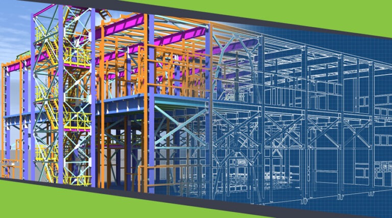
Explore moreOur Structural Support Services can enhance your structural engineering projects with expert support.
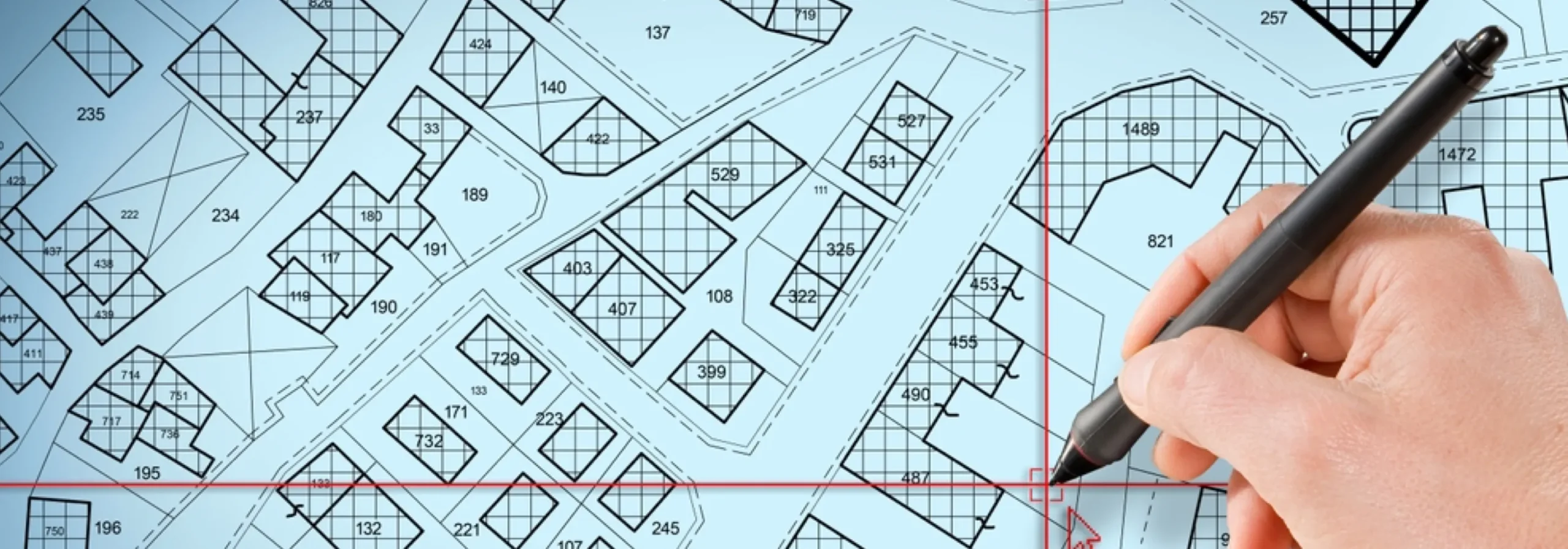
Explore moreUppteam delivers precise and reliable surveying and mapping solutions to help you make informed decisions.
Explore moreWhether you're working on residential, commercial, or industrial buildings..
Explore moreUppteam’s Virtual Admin Support can help you with all your administrative tasks..
Explore moreOur experts work as your Second Eye Services expert.
Explore more
-
-
-


3D Walkthrough of A Museum
Commercial
Florida, USA

City Center
Residential
Florida, USA
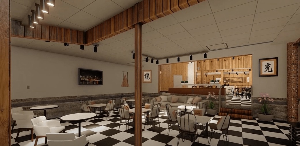
Interior Walkthrough of A Cafe
Commercial
USA
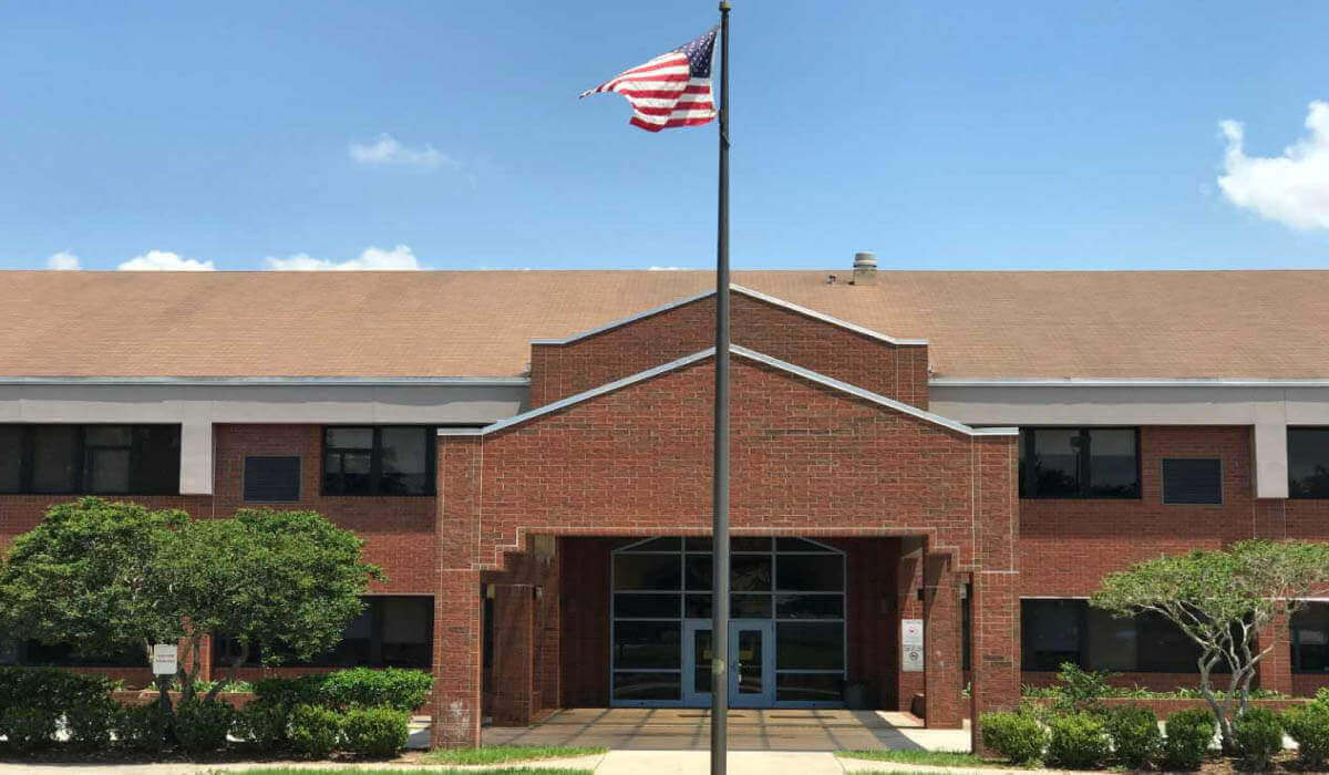
Polk County Elementary School
Education
Florida, USA