- Our Expertise
-
-
-

U.S.-based local architectural representation, ensuring communication, accountability, and delivery expectations, managed close to the client.
Explore more
Discover our architectural design excellence through a curated selection of projects.
Explore more
Take a look at how Uppteam can elevate your projects with expert engineering solutions.
Explore more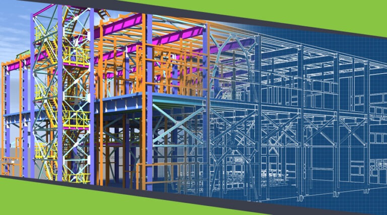
Our Structural Support Services can enhance your structural engineering projects with expert support.
Explore more
Uppteam delivers precise and reliable surveying and mapping solutions to help you make informed decisions.
Explore more
Whether you're working on residential, commercial, or industrial buildings..
Explore more
Uppteam’s Virtual Admin Support can help you with all your administrative tasks..
Explore more
Our experts work as your 3rd party quality control support partner.
Explore more
-
-
-


Input Review and Site Understanding
Plan Production with Interim Coordination
Internal QC and Constructability Review
Client Review Package and Revisions
Input Review and Site Understanding
We begin with a structured review of surveys, geotechnical information, utility records, and municipal guidelines you provide. Our team evaluates discrepancies, identifies missing inputs, and establishes the governing criteria for grading, drainage, and utility layouts. Early clarification reduces downstream revisions and helps maintain consistency.

Plan Production with Interim Coordination
Using Civil 3D and GIS data, we develop coordinated base maps, grading plans, utility layouts, drainage diagrams, and supporting sheets. Interim coordination checkpoints ensure alignment with architectural site plans, underground utilities, and roadway constraints. Our documentation and tracking of key assumptions keep you fully aware of pending clarifications.

Internal QC and Constructability Review
Each drawing package receives a multi-stage review, drafting accuracy check, senior-level technical review, and a coordination audit to resolve conflicts between grading, drainage, and site geometry. This reduces the likelihood of rework during permitting and minimizes questions from municipal reviewers.

Client Review Package and Revisions
Each civil design is thoroughly checked for accuracy, constructability, and integration with other disciplines. Deliverables are provided on time, ready for seamless execution on-site.


3D Walkthrough of A Museum
Commercial
Florida, USA

City Center
Residential
Florida, USA
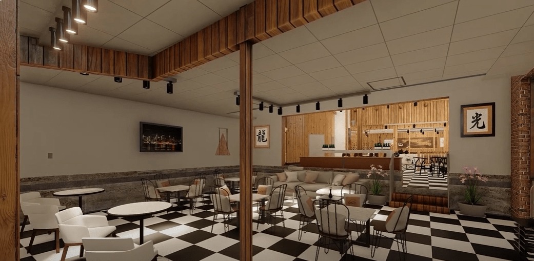
Interior Walkthrough of A Cafe
Commercial
USA
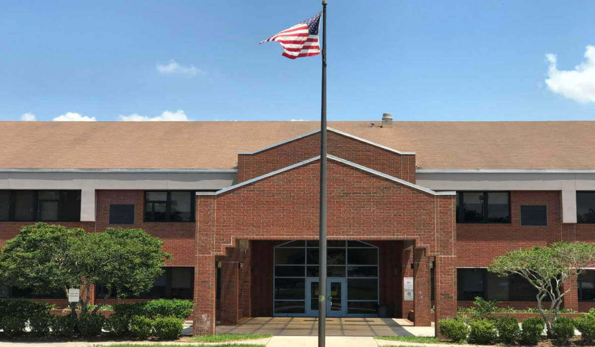
Polk County Elementary School
Education
Florida, USA